MeteoSyn
The ![]() MeteoSyn module provides site-dependent climate data. The module offers the possibility to extract climate data from a Map and from a List. In addition, under Options new records can be imported and the database updated. New locations or climate data can be generated via Create new location.
MeteoSyn module provides site-dependent climate data. The module offers the possibility to extract climate data from a Map and from a List. In addition, under Options new records can be imported and the database updated. New locations or climate data can be generated via Create new location.
Map
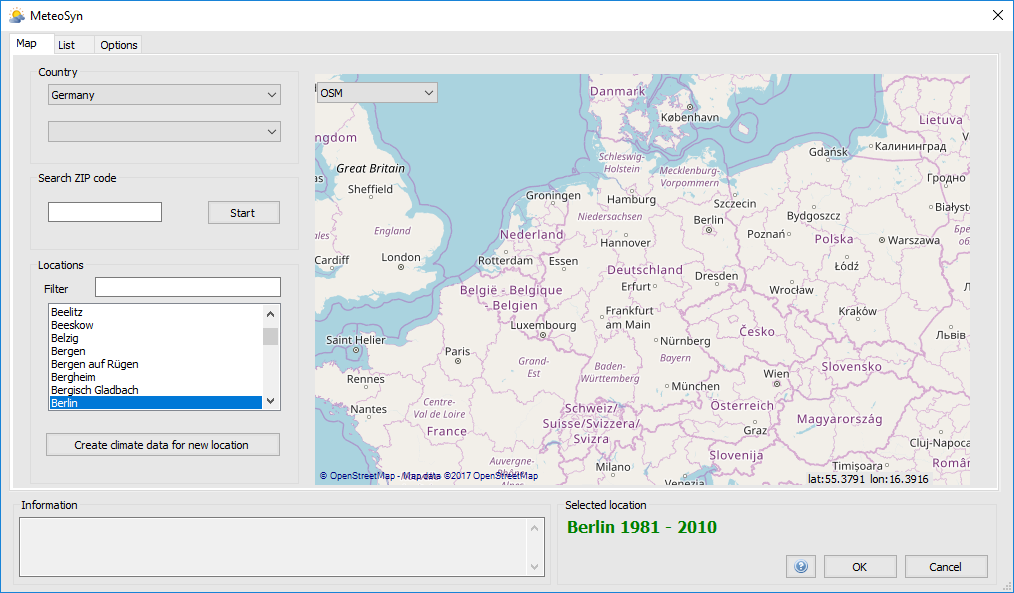
MeteoSyn - Map
The map can show all locations for which climate data are already available. Important: the interactive map requires an Internet connection. If there is no Internet connection, MeteoSyn starts with the page List. With the button  new locations or climate data can be created (see Create new location).
To select an existing climate data set, proceed as follows:
Select a Country from the country list. The map then displays the selected country. The country list contains only countries for which climate data are available.
(optional) Select a State. If federal states have been entered in the climate data, a corresponding selection box for federal states appears.
Select a Location. Only locations for which climate data are available can be selected. There are various options for the choice of location:
- Selection via the location List. The displayed locations can be further adjusted using the filter.
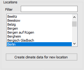
Location selection - List
- Selection by Postcode. After entering the postcode and confirming with
 , the location found is displayed on the map and symbolized by a yellow marking
  . Selectable or already existing locations in geographical proximity are marked in red.
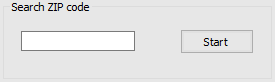
Location selection - Postcode
- Selection by Map. By clicking on the map, the selected location and the locations available in the vicinity are displayed. As with the postal code selection, the selected location is indicated by a yellow marker and the available locations, in geographical proximity, by a red marker .
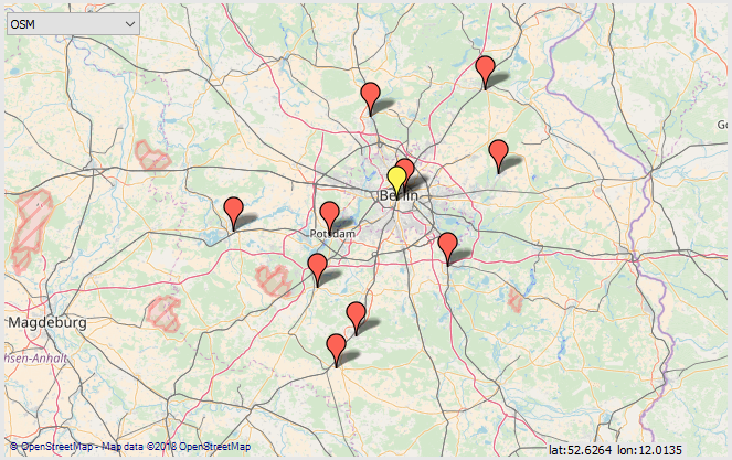
Location selection - Map
- Selection via the location List. The displayed locations can be further adjusted using the filter.
List
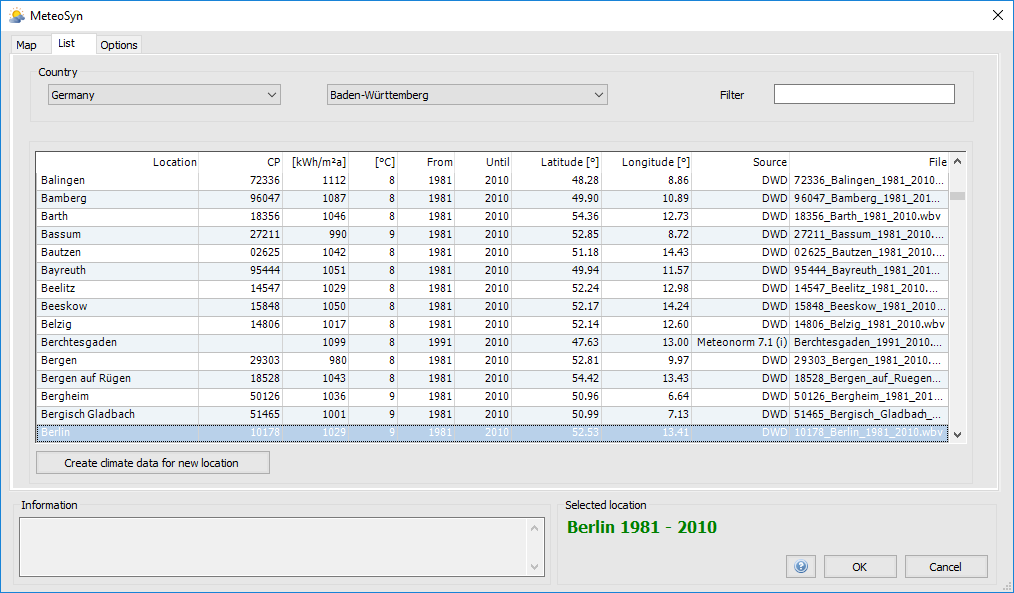
MeteoSyn - List
The menu item List displayed all available locations with detailed information (data source, averaging period, etc.) in list form. For example, the climate data for Germany are mainly obtained from the German Weather Service (DWD). With the button new locations or climate data can be created (see Create new location).
To select an existing climate data set, proceed as follows:
Select a Country from the country list. The country list contains only countries for which climate data are available.
(optional) Select a State. If federal states have been entered in the climate data, a corresponding selection box for federal states appears.
Select a Location. Only locations for which climate data are available can be selected.
Options
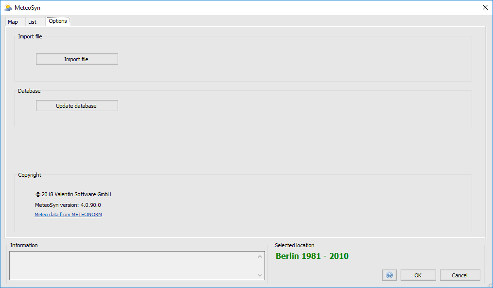
MeteoSyn - Options
New climate data records can be imported and the MeteoSyn database can be updated in the Options menu item. If the climate database has been changed externally, such as by deleting own climate data records, the MeteoSyn database must be updated with the button  . With the button
  own climate data sets can be imported. Valid formats are:
- DWD (*.xml)
- Meteonorm/meteoblue (*.dat)
- WBV (*.wbv)
Your imported files are saved to the database and copied to the country-specific folder for all users, e.g. C:\ProgramData\Valentin EnergySoftware\MeteoSyn\WBV_userfiles\DEU\ .
If you want to create your own climate data file, select the file format *.dat. The file must be in the following format:
Berlin
52.3032,-13.2556,50,-1,-30

Ta Gh FF RH
4.2 0.0 2.0 69.0
2.9 0.0 1.7 77.4
1.7 0.0 0.2 84.4
1.4 0.0 0.0 87.8
1.3 0.0 0.2 91.0
1.0 0.0 1.4 92.7
... - The first line contains the name of the location.
- The country of the location is determined automatically from the coordinates.
- Optionally, the three-character country code according to ISO standard can be specified after a semicolon (i.e. “Berlin;DEU”)
- The second line contains latitude, longitude, altitude, time zone and a flag.
- Latitude: North is positive, south is negative.
- Longitude: West is positive, East is negative. Attention, usually east is positive, here it’s the other way around.
- The numbers must be given in degrees, followed by a dot, then minutes and seconds. (dd.mmss)!
- Example:
- Our office is at 52.5087467 °N, 13.432195 °O in decimal notation, and 50°30’32” N, 13°25’56” E in the notation degrees°minutes’seconds”
- For the import file you have to write: 52.3032 N and -13.2556 O, i.e. degrees.minutesSeconds
- The time zone is also negative. For UTC+1 write -1.
- Leave the flag (-30) unchanged.
- The third line remains empty
- Fourth line: Header for measured values, with 4 columns:
- Ta - Ambient temperature in °C
- Gh - Global radiation horizontal in Wh/m²
- FF - Wind velocity in m/s
- RH - relative humidity in %
- decimal separator is the period (.)
- List separator is the tab (\t)
- There must be exactly 8760 values (lines with data)
Create new location
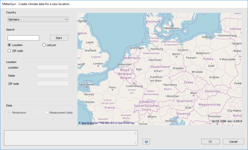
MeteoSyn - Create new location
In this menu item, new climate data can be added either by interpolating existing meteor standard data or by adding your own monthly climate data.
To create a new location, proceed as follows:
- Select a coutry from the country list
(optional) Search for the location using:
- Location
- Zip code
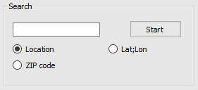
Site search
Selection of the location on the Map
Select climate data source
- Meteonorm
- Measured data
- (optional) Specify data source
- (optional) Specify measuring perios
- Specify monthly global radiation
- (optional) Specify monthly average ambient temperature
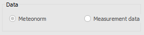
Climate data source
Enter location information
- Location
- (optional) Federal state
- (optional) Zip code
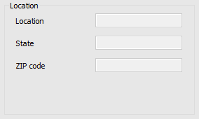
Location information
See also